

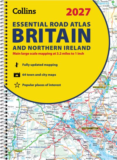
Explore Britain with easy-to-read mapping from Collins.This A4, spiral-bound road atlas provides clear and detailed road mapping for England, Wales and Southern Scotland at a scale of 3.2 miles to 1 inch (1:200,000). For Northern Scotland the mapping is at a scale of 4.2 miles to 1 inch (1:266,000), with land height shown by different layers of colouring.Main features:Route-planning section including maps at a scale of 22 miles to 1 inch, motorway services information, and a handy distance calculator chartMore than 20 urban approach maps at a larger scale which clearly show the best routes through and into built-up areas64 street maps focused on town centres showing places of interest, car park locations and one-way streets. All the street maps are fully indexedOver 30 categories of places of interest including castles, theme parks, sports venues, universities, mountain bike trails and surfing beachesThe top 1000 most visited places of interest are indexed with full postcodes to aid integration with sat-nav systemsUpdated Park & Ride locations, new rail stations and extensions to tram lines in Blackpool and EdinburghNow includes dual Welsh / English names for Welsh locations, for example, Caerdydd / CardiffThis is the ideal purchase for drivers, navigators and route planners who want the very best road atlas of Britain in an A4 format.
| ISBN: | 9780008779030 |
| Publication date: | 12th March 2026 |
| Author: | Collins Maps |
| Publisher: | Collins an imprint of HarperCollins Publishers |
| Format: | Spiral bound |
| Pagination: | 344 pages |
| Series: | Collins Road Atlas |
| Genres: |
Road atlases and maps World / regional atlases or maps Travel guides: routes and ways Travel guides: road travel / road trips Geographical reference works |
Explore Britain with easy-to-read mapping from Collins.This A4, spiral-bound road atlas provides clear and detailed road mapping for England, Wales and Southern Scotland at a scale of 3.2 miles to 1 inch (1:200,000). For Northern Scotland the mapping is at a scale of 4.2 miles to 1 inch (1:266,000), with land height shown by different layers of colouring.Main features:Route-planning section including maps at a scale of 22 miles to 1 inch, motorway services information, and a handy distance calculator chartMore than 20 urban approach maps at a larger scale which clearly show the best routes through and into built-up areas64 street maps focused on town centres showing places of interest, car park locations and one-way streets. All the street maps are fully indexedOver 30 categories of places of interest including castles, theme parks, sports venues, universities, mountain bike trails and surfing beachesThe top 1000 most visited places of interest are indexed with full postcodes to aid integration with sat-nav systemsUpdated Park & Ride locations, new rail stations and extensions to tram lines in Blackpool and EdinburghNow includes dual Welsh / English names for Welsh locations, for example, Caerdydd / CardiffThis is the ideal purchase for drivers, navigators and route planners who want the very best road atlas of Britain in an A4 format.
Collins Essential Road Atlas Britain and Northern Ireland 2027 (A4 Spiral) features in the following genres: Road atlases and maps, World / regional atlases or maps, Travel guides: routes and ways, Travel guides: road travel / road trips, Geographical reference works
Collins Essential Road Atlas Britain and Northern Ireland 2027 (A4 Spiral) is available in Spiral bound
Collins Essential Road Atlas Britain and Northern Ireland 2027 (A4 Spiral) was written by Collins Maps and published by Collins an imprint of HarperCollins Publishers
Collins Essential Road Atlas Britain and Northern Ireland 2027 (A4 Spiral) has 344 pages
Yes it is part of Collins Road Atlas series
£13.49