

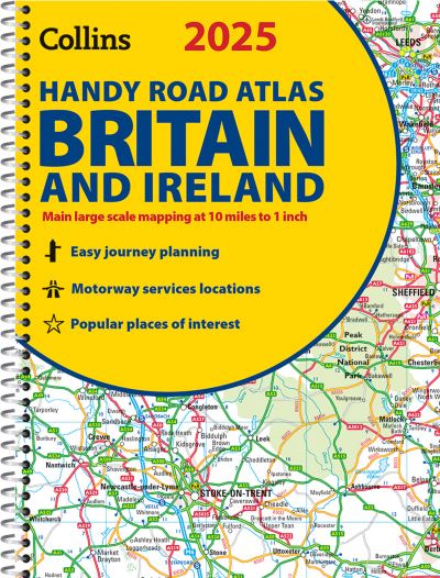
This easy-to-use, handy A5 road atlas with spiral binding features extremely clear route planning maps of Britain and Ireland, and fits neatly into your glove box or bag.
The maps of Britain are at 10 miles to 1 inch (1:625,000) and the whole of Ireland is covered at 15.8 miles to 1 inch (1:1,000,000). There are also a selection of more detailed urban area maps at 4.5 miles to 1 inch (1:285,000) to aid route planning in these busy areas.
Main features:
| ISBN: | 9780008652890 |
| Publication date: | 28th March 2024 |
| Author: | |
| Publisher: | Collins an imprint of HarperCollins Publishers |
| Format: | Spiral bound |
| Pagination: | 80 pages |
| Series: | Collins Road Atlas |
| Genres: |
Travel guides: routes and ways Travel guides: road travel / road trips Road atlases and maps World / regional atlases or maps Geographical reference works |
This easy-to-use, handy A5 road atlas with spiral binding features extremely clear route planning maps of Britain and Ireland, and fits neatly into your glove box or bag.
The maps of Britain are at 10 miles to 1 inch (1:625,000) and the whole of Ireland is covered at 15.8 miles to 1 inch (1:1,000,000). There are also a selection of more detailed urban area maps at 4.5 miles to 1 inch (1:285,000) to aid route planning in these busy areas.
Main features:
2025 Collins Handy Road Atlas Britain and Ireland features in the following genres: Travel guides: routes and ways, Travel guides: road travel / road trips, Road atlases and maps, World / regional atlases or maps, Geographical reference works
2025 Collins Handy Road Atlas Britain and Ireland is available in Spiral bound
2025 Collins Handy Road Atlas Britain and Ireland was written by and published by Collins an imprint of HarperCollins Publishers
2025 Collins Handy Road Atlas Britain and Ireland has 80 pages
Yes it is part of Collins Road Atlas series