
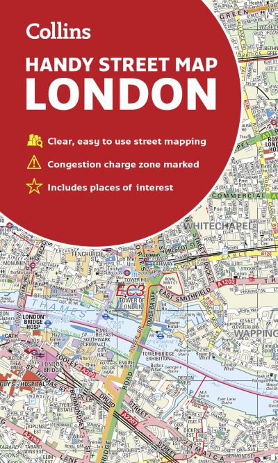
An essential companion whether you are travelling around London by car, public transport or on foot.Clear and easy-to-read map of central London and surrounding area. Contains detailed mapping, presented in a handy compact format.This attractive map, ideal for both tourists and residents, and fully updated, has an extensive area of coverage and displays a wealth of detail.This map includes:• New for this edition: Electric car recharging sites• Fully classified roads• Congestion charging zone & T-charge (Ultra Low Emission Zone from April 2019)• Postal districts and boundaries clearly depicted• Full indexes to street names (on back of map), place names and places of interest• Fully updated London underground map conveniently located on the back coverCovers this area:Extends from Hampstead in the north to Clapham in the south and from Hammersmith in the west to Greenwich in the east.Scale: 1:17,500 (3.6 inches to 1 mile).
| ISBN: | 9780008320584 |
| Publication date: | 7th February 2019 |
| Author: | Collins Maps |
| Publisher: | Collins an imprint of HarperCollins Publishers |
| Format: | |
| Pagination: | 2 pages |
| Genres: |
Travel guides: museums, historic sites, galleries etc Road atlases and maps Street maps and city plans Urban communities Geographical maps: specialist / thematic maps Cartography, map-making and projections Motoring |