

PHILIP'S: BRITAIN'S CLEAREST MAPS FOR NEW DRIVERS AND EXPERIENCED MOTORISTS ALIKE
- Clear 4 miles to 1 inch maps - fully updated for easy driving
- Superb detail for journey planning and leisure activities
- London street plan plus 47 town and city centre plans
- Route planner, distance table and London approaches map
- Excellent value for money at only £9.99
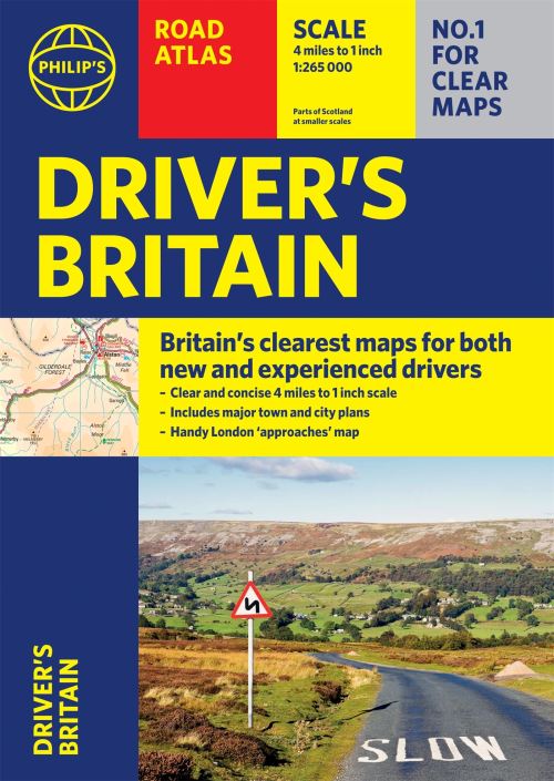
Philip's Driver's Atlas Britain is an excellent value, concise paperback atlas containing all the map features normally included only in the more expensive road atlases. The front section has a route planner, key to map symbols, London approaches, plus a key map and distance table.
For easy navigating the atlas covers all of Britain at 4 miles to 1 inch (parts of Scotland at 5 miles to 1 inch, Orkney and Shetland at 6 miles to 1 inch). The maps clearly mark service areas, roundabouts and multi-level junctions, and in rural areas distinguish between roads over and under 4 metres wide - a boon for drivers of wide vehicles.
The town plan section includes a street plan of London plus 47 town and city centre maps, marking car parks and places of interest.
Completing the atlas is a huge index of 28,000 place names, so you can always find your desired destination.
| ISBN: | 9781849075688 |
| Publication date: | 14th October 2021 |
| Author: | |
| Publisher: | Philip's an imprint of Octopus |
| Format: | Paperback |
| Pagination: | 1 pages |
| Series: | Philip's Road Atlases |
| Genres: |
Road atlases and maps |
PHILIP'S: BRITAIN'S CLEAREST MAPS FOR NEW DRIVERS AND EXPERIENCED MOTORISTS ALIKE- Clear 4 miles to 1 inch maps - fully updated for easy driving - Superb detail for journey planning and leisure activities - London street plan plus 47 town and city centre plans - Route planner, distance table and London approaches map - Excellent value for money at only £9.99 Philip's Driver's Atlas Britain is an excellent value, concise paperback atlas containing all the map features normally included only in the more expensive road atlases. The front section has a route planner, key to map symbols, London approaches, plus a key map and distance table.For easy navigating the atlas covers all of Britain at 4 miles to 1 inch (parts of Scotland at 5 miles to 1 inch, Orkney and Shetland at 6 miles to 1 inch).
Philip's Driver's Atlas Britain features in the following genres: Road atlases and maps
Paperback. Not Available.
Philip's Driver's Atlas Britain was written by and published by Philip's an imprint of Octopus
Philip's Driver's Atlas Britain has 1 pages
Yes it is part of Philip's Road Atlases series