

PHILIP'S - THE FASTEST GROWING BRAND OF UK ROAD ATLASES
No. 1 in the UK for clear maps
'Good balance between detail and clarity with excellent town maps' What Car?
Mapping at a scale of 3 miles to 1 inch = 1:200,000
Philip's: Britain's clearest maps for motorists
Completely updated and revised for 2020
- Special feature: UK Truckstops - gourmet or gruesome?
- 160 pages of fully updated super-clear road maps
- 10 pages of detailed route-planning maps - plan your route in advance
- 88 indexed town-centre maps
- 14 pages of city approach maps with named arterial roads
- 2 page road map of Ireland
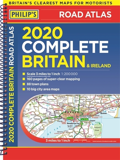
Philip's 2020 Complete Road Atlas Britain and Ireland is the top-of-the-range, spiral-bound atlas featuring fully updated maps from the Philip's digital database. The maps are super-clear. They have been voted Britain's clearest and most detailed in an independent consumer survey.
Philip's 2020 Complete Road Atlas Britain and Ireland contains 160 pages of road maps covering Britain at 3 miles to 1 inch, with the Western Isles, Orkney and Shetland at smaller scales. The maps clearly mark service areas, roundabouts and multi-level junctions, and in rural areas distinguish between roads over and under 4 metres wide.
The atlas also includes a 2-page road map of Ireland, 10 pages of route-planning maps, a distance table, 10 large-scale city approach maps with named arterial roads, and an expanded section of 88 extra-detailed and fully indexed town and city plans.
| ISBN: | 9781849075114 |
| Publication date: | 6th June 2019 |
| Author: | Philips Maps |
| Publisher: | Philip's an imprint of Octopus |
| Format: | Spiral bound |
| Pagination: | 256 pages |
| Series: | Philips Road Atlas |
| Genres: |
Road atlases and maps |
PHILIP'S - THE FASTEST GROWING BRAND OF UK ROAD ATLASES No. 1 in the UK for clear maps 'Good balance between detail and clarity with excellent town maps' What Car? Mapping at a scale of 3 miles to 1 inch = 1:200,000 Philip's: Britain's clearest maps for motorists Completely updated and revised for 2020 - Special feature: UK Truckstops - gourmet or gruesome? - 160 pages of fully updated super-clear road maps - 10 pages of detailed route-planning maps - plan your route in advance - 88 indexed town-centre maps - 14 pages of city approach maps with named arterial roads - 2 page road map of Ireland Philip's 2020 Complete Road Atlas Britain and Ireland is the top-of-the-range, spiral-bound atlas featuring fully updated maps from the Philip's digital database.
Britain and Ireland features in the following genres: Road atlases and maps
Spiral bound, Hardback. Not Available.
Britain and Ireland was written by Philips Maps and published by Philip's an imprint of Octopus
Britain and Ireland has 256 pages
Yes it is part of Philips Road Atlas series