

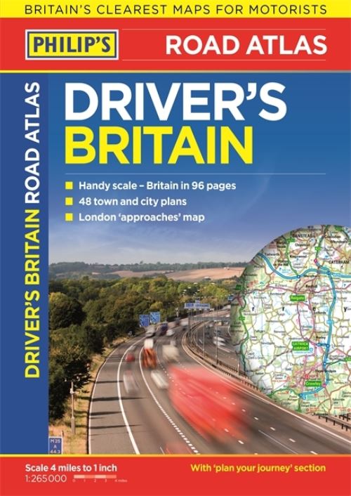
Philip's: Britain's clearest maps for motorists.
Clear 4 miles to 1 inch maps - fully updated.
Superb detail for journey planning and leisure activities.
London street plan plus 47 town and city centre plans.
Route planner, distance table and London approaches map.
Excellent value for money at only £7.99.
Philip's Driver's Atlas Britain is an excellent value paperback atlas containing all the map features normally included only in the more expensive road atlases. The front section has a route planner, key to map symbols, London approaches, plus a key map and distance table.
The atlas contains 96 pages of road maps covering Britain at 4 miles to 1 inch (parts of Scotland at 5 miles to 1 inch, Orkney and Shetland at 6.25 miles to 1 inch). The maps clearly mark service areas, roundabouts and multi-level junctions, and in rural areas distinguish between roads over and under 4 metres wide - a boon for drivers of wide vehicles.
The town plan section includes a street plan of London plus 47 town and city centre maps, marking car parks and places of interest.
Completing the atlas is a comprehensive index of 28,000 place names.
| ISBN: | 9781849074186 |
| Publication date: | 6th October 2016 |
| Author: | |
| Publisher: | Philip's an imprint of Octopus |
| Format: | Paperback |
| Pagination: | 144 pages |
| Genres: |
Road atlases and maps |
Philip's: Britain's clearest maps for motorists.Clear 4 miles to 1 inch maps - fully updated.Superb detail for journey planning and leisure activities.London street plan plus 47 town and city centre plans.Route planner, distance table and London approaches map.Excellent value for money at only £7.99.Philip's Driver's Atlas Britain is an excellent value paperback atlas containing all the map features normally included only in the more expensive road atlases. The front section has a route planner, key to map symbols, London approaches, plus a key map and distance table.The atlas contains 96 pages of road maps covering Britain at 4 miles to 1 inch (parts of Scotland at 5 miles to 1 inch, Orkney and Shetland at 6.25 miles to 1 inch).
Philip's Driver's Atlas Britain features in the following genres: Road atlases and maps
Paperback. Not Available.
Philip's Driver's Atlas Britain was written by and published by Philip's an imprint of Octopus
Philip's Driver's Atlas Britain has 144 pages