

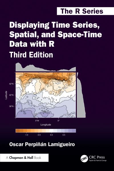
Focusing on the exploration of data with visual methods, "Displaying Time Series, Spatial, and Space-Time Data with R" presents methods and R code for producing high-quality static graphics, interactive visualizations, and animations, of time series, spatial, and space-time data. Practical examples using real-world datasets help you understand how to apply the methods and code.
While the first edition primarily focused on static graphics, and the second edition significantly expanded upon interactive elements, this edition has been thoroughly updated with a modern emphasis. Key enhancements include:
· Comprehensive updates to all chapters: Incorporating the latest advancements in packages like "sf" and "terra."
· New content: Introducing valuable topics such as trajectories, hill shading, and cartograms, enriching the scope of the book.
The book illustrates how to display a dataset starting with an easy and direct approach and progressively adding improvements that involve more complexity. Each of the three parts of the book is devoted to different types of data. In each part, the chapters are grouped according to the various visualization methods or data characteristics.
Features
Offers detailed information on producing high-quality graphics, interactive visualizations, and animations
Uses real data from meteorological, climate, economic, social science, energy, engineering, environmental, and epidemiological research in many practical examples
Shows how to improve graphics based on visualization theory
Provides the graphics, data, and R code on the author's website, enabling you to practice with the methods and modify the code to suit your own needs.
| ISBN: | 9781032779201 |
| Publication date: | 10th November 2025 |
| Author: | Óscar Perpiñán Lamigueiro |
| Publisher: | Chapman & Hall/CRC an imprint of CRC Press |
| Format: | Paperback |
| Pagination: | 320 pages |
| Series: | Chapman & Hall/CRC the R Series |
| Genres: |
Information visualization Geographical information systems, geodata and remote sensing Data capture and analysis |
Practical examples using real-world datasets help you understand how to apply the methods and code.While the first edition primarily focused on static graphics, and the second edition significantly expanded upon interactive elements, this edition has been thoroughly updated with a modern emphasis. Key enhancements include:· Comprehensive updates to all chapters: Incorporating the latest advancements in packages like "sf" and "terra."· New content: Introducing valuable topics such as trajectories, hill shading, and cartograms, enriching the scope of the book.The book illustrates how to display a dataset starting with an easy and direct approach and progressively adding improvements that involve more complexity.
Displaying Time Series, Spatial, and Space-Time Data With R features in the following genres: Information visualization, Geographical information systems, geodata and remote sensing, Data capture and analysis
Hardback, Paperback. £74.69, down from the £82.99 cover price. Not Available.
Displaying Time Series, Spatial, and Space-Time Data With R was written by Óscar Perpiñán Lamigueiro and published by Chapman & Hall/CRC an imprint of CRC Press
Displaying Time Series, Spatial, and Space-Time Data With R has 320 pages
Yes it is part of Chapman & Hall/CRC the R Series series
£74.69, reduced from £82.99. Not Available.