

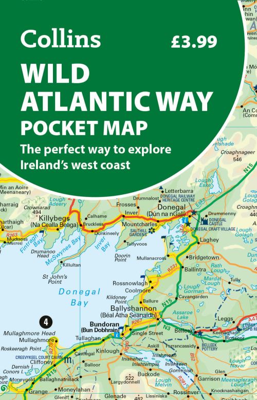
Explore new places with handy pocket maps from Collins.As one of the longest defined coast routes in the world, the Wild Atlantic Way spans from the Inishowen Peninsula in Co. Donegal to Kinsale in Co. Cork.
Travelers exploring the route can expect to see incredibly varied landscapes from dramatic cliffs to picturesque villages to sandy beaches.This full-colour map of Ireland's Wild Atlantic Way has a high level of detail with clear mapping of the full 2500 km (over 1500 miles) route, showing the road network and places of interest. It's an ideal purchase for tourists, locals, hikers and adventurers with places of interest marked - including famous filming locations.
It is excellent value and very detailed for its size, covering the whole of the Wild Atlantic Way.This map includes: Clear mapping at a scale of 8.7 miles to 1 inch National Tourist Routes showing best routes through the most scenic areas Places of interest include film locations, such as Star Wars Tourist and signature locations clearly marked Suggested itineraries Detailed place names index Ideal companion to a sat-nav - it enables route planning and route sense-checking.
| ISBN: | 9780008780418 |
| Publication date: | 12th February 2026 |
| Author: | Collins Maps |
| Publisher: | Collins an imprint of HarperCollins Publishers |
| Format: | |
| Genres: |
Travel guides: routes and ways Geographical maps: specialist / thematic maps Travel guides: adventure holidays Travel guides: road travel / road trips Road atlases and maps Travel maps Cartography, map-making and projections |
Explore new places with handy pocket maps from Collins.As one of the longest defined coast routes in the world, the Wild Atlantic Way spans from the Inishowen Peninsula in Co. Donegal to Kinsale in Co.
Wild Atlantic Way Pocket Map features in the following genres: Travel guides: routes and ways, Geographical maps: specialist / thematic maps, Travel guides: adventure holidays, Travel guides: road travel / road trips, Road atlases and maps, Travel maps, Cartography, map-making and projections
. £3.59, down from the £3.99 cover price. In Stock.
Wild Atlantic Way Pocket Map was written by Collins Maps and published by Collins an imprint of HarperCollins Publishers
£3.59, reduced from £3.99. In Stock.