
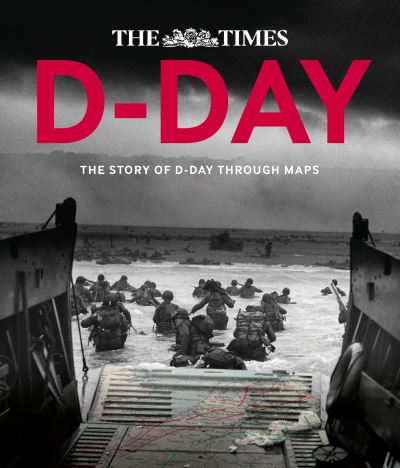
Follow the D-Day landings through a unique collection of historical maps, expert commentary and dramatic photographs. This is a unique insight into the D-Day landings 70 years on.
Over 90 maps demonstrate how the D-Day landings unfolded, and are accompanied by detailed descriptions of what happened on that momentous day. The Allied landings in Normandy on 6 June 1944 were the greatest amphibious assault in history, requiring almost two years of meticulous planning and the largest co-ordinated mapping effort the world has ever seen.
Key maps include:
This collection of incredible maps uncover the events that led up to D-Day, the planning for the assault and the progress of the liberating forces afterwards. Dramatic photographs help to illustrate the key historical events that took place during Operation Overlord.
| ISBN: | 9780007592838 |
| Publication date: | 9th October 2014 |
| Author: | Richard Happer |
| Publisher: | Times Books an imprint of HarperCollins Publishers |
| Format: | Hardback |
| Pagination: | 208 pages |
| Genres: |
History First World War |