

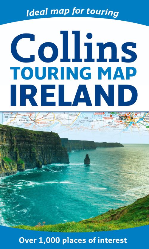
Large full colour map of the whole of Ireland showing the road network in detail, and with a special emphasis on places of tourist interest.This map has a handy touring scale of 7.5 miles to 1 inch (1:475,200). It has over 20 categories of tourist information depicted on the map with clear, colourful red and yellow symbols. There is a full index to place names and places of interest.INCLUDES:• All classified and most minor roads.• Railway network and ferry routes.• Viewpoints and sandy beaches.• Speed enforcement zones and safety camera locations.• Index to 20 categories of tourist information.• Includes castles, historic houses, gardens, beaches and golf courses.
| ISBN: | 9780007549689 |
| Publication date: | 13th March 2014 |
| Author: | Collins Maps |
| Publisher: | Collins an imprint of HarperCollins Publishers |
| Format: | |
| Genres: |
Travel maps Geographical reference works |
Large full colour map of the whole of Ireland showing the road network in detail, and with a special emphasis on places of tourist interest.This map has a handy touring scale of 7.5 miles to 1 inch (1:475,200). It has over 20 categories of tourist information depicted on the map with clear, colourful red and yellow symbols.
Ireland Touring Map features in the following genres: Travel maps, Geographical reference works
. Not Available.
Ireland Touring Map was written by Collins Maps and published by Collins an imprint of HarperCollins Publishers