

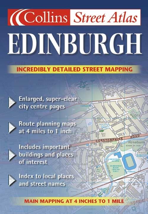
4 inches to 1 mile 1:15,840. Handy full colour atlas with street level detail covering a large area of Edinburgh.
Brand new full colour street level mapping of Edinburgh has been created displaying a wealth of detail. Roads are colour classified and land use colour coded to aid clarity.
MAIN FEATURES
Enlarged central area
Clear full colour street map
4 pages of route planning maps at 4 miles to 1 inch
Full index to street names and places
INCLUDES
Motorways, classified roads and street network
Land use colour coded for ease of use
Main railway lines and stations
Car parks
AREA OF COVERAGE
Extends from Queensferry in the west to include Tranent in the east. From the Firth of Forth in the north to Penicuik in the south.
WHO THE PRODUCT IS AIMED AT
Its wealth of detail, handy format and large area of coverage make this atlas an essential purchase for resident, business user and visitor.
| ISBN: | 9780007128044 |
| Publication date: | 4th March 2002 |
| Author: | |
| Publisher: | Collins an imprint of HarperCollins Publishers |
| Format: | Paperback |
| Pagination: | 110 pages |
| Series: | Collins Street Atlas |
| Genres: |
Street maps and city plans |
4 inches to 1 mile 1:15,840. Handy full colour atlas with street level detail covering a large area of Edinburgh.Brand new full colour street level mapping of Edinburgh has been created displaying a wealth of detail.
Edinburgh features in the following genres: Street maps and city plans
Paperback, . Not Available.
Edinburgh was written by and published by Collins an imprint of HarperCollins Publishers
Edinburgh has 110 pages
Yes it is part of Collins Street Atlas series