

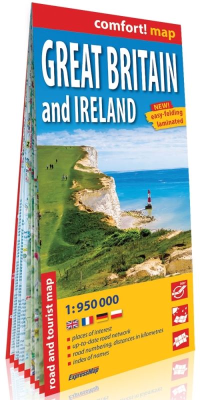
Tourist road map on a scale of 1:950 000
This double-sided laminated road map of Great Britain and Ireland is waterproof, durable and easy to fold.
The map includes:
- condition of roads in 2018, including any sections under construction
- all motorways and junctions
- detailed categorization and numbering of roads
- road distances in miles
- car ferries
- national parks and other natural sights of interest
- index of over 10,000 towns
| ISBN: | 9788380465374 |
| Publication date: | 1st January 2019 |
| Author: | ExpressMap |
| Publisher: | comfort! map an imprint of ExpressMap |
| Format: | |
| Series: | Comfort! Map |
| Genres: |
Travel maps and atlases |
Tourist road map on a scale of 1:950 000This double-sided laminated road map of Great Britain and Ireland is waterproof, durable and easy to fold. The map includes:- condition of roads in 2018, including any sections under construction- all motorways and junctions- detailed categorization and numbering of roads- road distances in miles- car ferries- national parks and other natural sights of interest- index of over 10,000 towns
Comfort! Map Great Britain & Ireland features in the following genres: Travel maps and atlases
. Not Available.
Comfort! Map Great Britain & Ireland was written by ExpressMap and published by comfort! map an imprint of ExpressMap
Yes it is part of Comfort! Map series