

'THE BEST OF ITS KIND, WITH QUICK EASY-TO-USE INFORMATION' Fleet Week
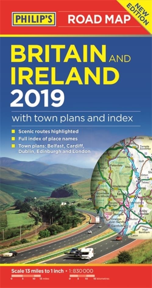
The map for navigating in Britain and Ireland:
- Main scale super-clear 1: 830,000 (13 miles to 1 inch)
- Fully updated
- Scenic routes highlighted
- Maps on both sides - more for your money
- City plans: London, Edinburgh, Cardiff, Dublin and Belfast
- The important information for motoring: motorways (toll, pre-pay and free), mountain passes, railways, road numbers, distances between towns
- Full index of place names
- Major city location maps
- All the places of interest for your trip: from castles, historic houses, beaches and national parks to theme parks, places of worship and ancient monuments
In fact, everything you need for your trip to driving in Britain and Ireland
| ISBN: | 9781849074360 |
| Publication date: | 3rd May 2018 |
| Author: | Philips Maps |
| Publisher: | Philip's an imprint of Octopus |
| Format: | Paperback |
| Pagination: | 2 pages |
| Series: | Philip's Sheet Maps |
| Genres: |
Travel maps Travel maps and atlases |
'THE BEST OF ITS KIND, WITH QUICK EASY-TO-USE INFORMATION' Fleet Week The map for navigating in Britain and Ireland: - Main scale super-clear 1: 830,000 (13 miles to 1 inch)- Fully updated- Scenic routes highlighted- Maps on both sides - more for your money - City plans: London, Edinburgh, Cardiff, Dublin and Belfast - The important information for motoring: motorways (toll, pre-pay and free), mountain passes, railways, road numbers, distances between towns - Full index of place names- Major city location maps- All the places of interest for your trip: from castles, historic houses, beaches and national parks to theme parks, places of worship and ancient monumentsIn fact, everything you need for your trip to driving in Britain and Ireland
Britain and Ireland Road Map features in the following genres: Travel maps, Travel maps and atlases
Paperback. Not Available.
Britain and Ireland Road Map was written by Philips Maps and published by Philip's an imprint of Octopus
Britain and Ireland Road Map has 2 pages
Yes it is part of Philip's Sheet Maps series