

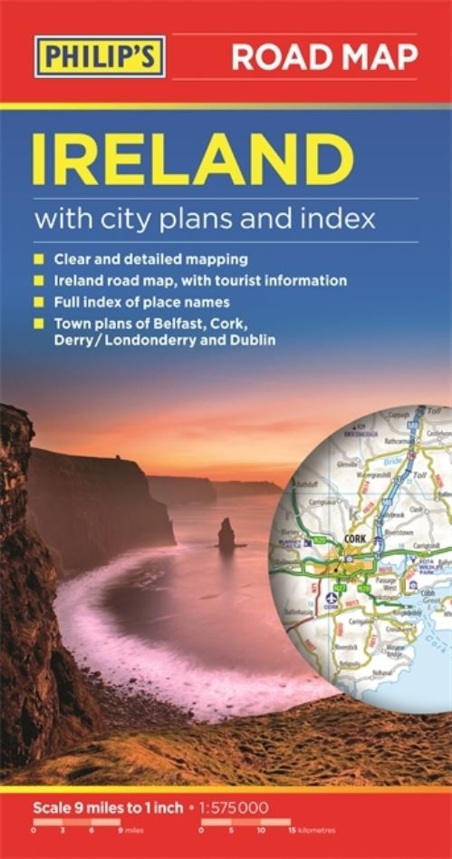
Philip's Ireland Road Map shows the whole of Ireland at a scale of 9 miles to 1 inch (1 cm on the map = 5.5 km on the ground). The map includes a comprehensive index of place names, plus detailed town plans of Belfast, Cork, Derry/Londonderry and Dublin, with tourist information clearly marked.The map has been specially prepared for touring, picking out major routes and destinations in bold colours for easy journey planning and route-finding, and is a convenient size for use in a vehicle.The digital mapping gives excellent clarity, showing road networks in exceptional detail for this scale.
High-quality travel information includes a wealth of useful detail marking car ferries, national parks, historic houses and gardens, museums, cathedrals, castles, ancient monuments, theme parks, and many other places of interest.A comprehensive index includes all towns and villages shown on the map.
| ISBN: | 9781849073592 |
| Publication date: | 2nd March 2015 |
| Author: | Philips Maps |
| Publisher: | Philip's an imprint of Octopus |
| Format: | Paperback |
| Pagination: | 1 pages |
| Genres: |
Travel maps Travel maps and atlases |
Philip's Ireland Road Map shows the whole of Ireland at a scale of 9 miles to 1 inch (1 cm on the map = 5.5 km on the ground). The map includes a comprehensive index of place names, plus detailed town plans of Belfast, Cork, Derry/Londonderry and Dublin, with tourist information clearly marked.The map has been specially prepared for touring, picking out major routes and destinations in bold colours for easy journey planning and route-finding, and is a convenient size for use in a vehicle.The digital mapping gives excellent clarity, showing road networks in exceptional detail for this scale.
Philip's Ireland Road Map features in the following genres: Travel maps, Travel maps and atlases
, Paperback. Not Available.
Philip's Ireland Road Map was written by Philips Maps and published by Philip's an imprint of Octopus
Philip's Ireland Road Map has 1 pages