

The most important attribute of geospatial platforms is their unique potential to aggregate a multitude of public and private geographic data sets, providing access to data from government agencies, industry and the general public. NASA and other organizations have a wealth of planetary science data - representing the output from thousands of satellites in earth-orbit, and from dozens of costly missions to other planets.
Benefits derived from both the data and visual interfaces to access the data represent a significant return on investment for the public. Integrating geospatial data with semantic and collaborative Web technology multiplies the public benefits and represents the main focus of this book. The user interfaces of geobrowsers are designed for the layperson, giving conv- ient access to all kinds of geographically referenced information.
Geobrowsers hide the technical details related to finding, accessing and retrieving such information. The daunting challenge of the Geospatial Web is to seamlessly integrate and display vastly different information modes. Nowadays, it is not enough to simply display a map of some region; additional dynamic information modes need to be displayed and put into context - from weather sensor readings and live aerial video feeds to daily news updates, photo collections and video archives.
| ISBN: | 9781846288265 |
| Publication date: | 11th June 2007 |
| Author: | Arno Scharl, K Tochtermann |
| Publisher: | Springer an imprint of Springer London |
| Format: | Hardback |
| Pagination: | 295 pages |
| Series: | Advanced Information and Knowledge Processing |
| Genres: |
Computer science Mathematical theory of computation Human–computer interaction Geographical information systems, geodata and remote sensing Graphical and digital media applications Applied computing |
The most important attribute of geospatial platforms is their unique potential to aggregate a multitude of public and private geographic data sets, providing access to data from government agencies, industry and the general public. NASA and other organizations have a wealth of planetary science data - representing the output from thousands of satellites in earth-orbit, and from dozens of costly missions to other planets.
The Geospatial Web features in the following genres: Computer science, Mathematical theory of computation, Human–computer interaction, Geographical information systems, geodata and remote sensing, Graphical and digital media applications, Applied computing
Hardback. Not Available.
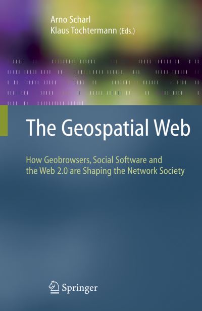
The Geospatial Web was written by Arno Scharl, K Tochtermann and published by Springer an imprint of Springer London
The Geospatial Web has 295 pages
Yes it is part of Advanced Information and Knowledge Processing series