

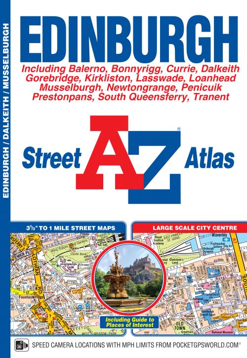
This A-Z map ofEdinburgh is a full colour street atlas which also includes a places of interest guide. This publication features 45 pages of continuous street mapping which extends to include:
South Queensferry
In addition, there is a large scale city centre map of Edinburgh.
Postcode districts, one-way streets, park and ride sites and safety camera locations with their maximum speed are also featured on the mapping.
The Places of Interest Guide is both informative and helpful, highlighting the city's major tourist attractions and the world famous Edinburgh Festival. A diagrammatic map of the Rail Connections and Trams for Edinburgh (under construction) is also featured.
The index section lists streets, selected flats, walkways and places of interest, junction, place, area and station names, New Edinburgh Tramway stops (under construction), hospitals and hospices covered by this atlas.
This atlas is ideal not only for navigating around Edinburgh, but for exploring this historic city.
| ISBN: | 9781843489146 |
| Publication date: | 8th August 2018 |
| Author: | AûZ maps |
| Publisher: | Geographers' A-Z Map Co Ltd an imprint of HarperCollins Publishers |
| Format: | Paperback |
| Pagination: | 88 pages |
| Series: | AZ Street Atlas |
| Genres: |
Place names and gazetteers Street maps and city plans |
This A-Z map ofEdinburgh is a full colour street atlas which also includes a places of interest guide. This publication features 45 pages of continuous street mapping which extends to include:South QueensferryLeithPrestonpansTranentMusselburghDalkeithBonnyriggLoanheadGorebridgePenicuikBalernoEdinburgh AirportIn addition, there is a large scale city centre map of Edinburgh.Postcode districts, one-way streets, park and ride sites and safety camera locations with their maximum speed are also featured on the mapping.The Places of Interest Guide is both informative and helpful, highlighting the city's major tourist attractions and the world famous Edinburgh Festival.
Edinburgh features in the following genres: Place names and gazetteers, Street maps and city plans
Paperback. Not Available.
Edinburgh was written by AûZ maps and published by Geographers' A-Z Map Co Ltd an imprint of HarperCollins Publishers
Edinburgh has 88 pages
Yes it is part of AZ Street Atlas series