

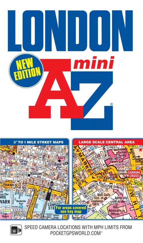
This pocket sized A-Z Mini map of Central London is a full colour, paperback street atlas covering an area extending from the centre of London to:•Brent CrossGolders GreenHighgateFinsbury ParkStoke NewingtonLeytonstoneWansteadWest HamThames Flood BarrierElthamGrove ParkCatfordStreathamWimbledonBarnes BridgeWillesden JunctionNeasdenIn addition, there is a large-scale street map section of the inner London area which extends north to Regent's Park and Shoreditch, south to London Victoria station and Lambeth, west to Hyde Park and east to Tower Bridge.One-way streets and safety camera locations with their maximum speed limit are featured on both scales of street mapping.The congestion charging zone boundary is shown on both scales of mapping and there is also an overview map of the congestion charging zone.
The London Underground Map is featured within the atlas and on the outside back cover is a central London Underground Map.The comprehensive index lists streets, selected flats, walkways and places of interest, place, area and junction names. There are separate index listings for both hospitals, walk-in centres and hospices and for the National Rail, London Tramlink, Docklands Light Railway, London Underground and Overground stations and River Bus piers covered by this atlas.
| ISBN: | 9781843489054 |
| Publication date: | 2nd July 2019 |
| Author: | AZ Maps |
| Publisher: | Geographers' A-Z Map Co Ltd an imprint of HarperCollins Publishers |
| Format: | Paperback |
| Pagination: | 384 pages |
| Genres: |
Street maps and city plans Place names and gazetteers |
This pocket sized A-Z Mini map of Central London is a full colour, paperback street atlas covering an area extending from the centre of London to:•Brent CrossGolders GreenHighgateFinsbury ParkStoke NewingtonLeytonstoneWansteadWest HamThames Flood BarrierElthamGrove ParkCatfordStreathamWimbledonBarnes BridgeWillesden JunctionNeasdenIn addition, there is a large-scale street map section of the inner London area which extends north to Regent's Park and Shoreditch, south to London Victoria station and Lambeth, west to Hyde Park and east to Tower Bridge.One-way streets and safety camera locations with their maximum speed limit are featured on both scales of street mapping.The congestion charging zone boundary is shown on both scales of mapping and there is also an overview map of the congestion charging zone. The London Underground Map is featured within the atlas and on the outside back cover is a central London Underground Map.The comprehensive index lists streets, selected flats, walkways and places of interest, place, area and junction names.
London Mini A-Z Street Atlas (Paperback) features in the following genres: Street maps and city plans, Place names and gazetteers
Paperback. Not Available.
London Mini A-Z Street Atlas (Paperback) was written by AZ Maps and published by Geographers' A-Z Map Co Ltd an imprint of HarperCollins Publishers
London Mini A-Z Street Atlas (Paperback) has 384 pages