

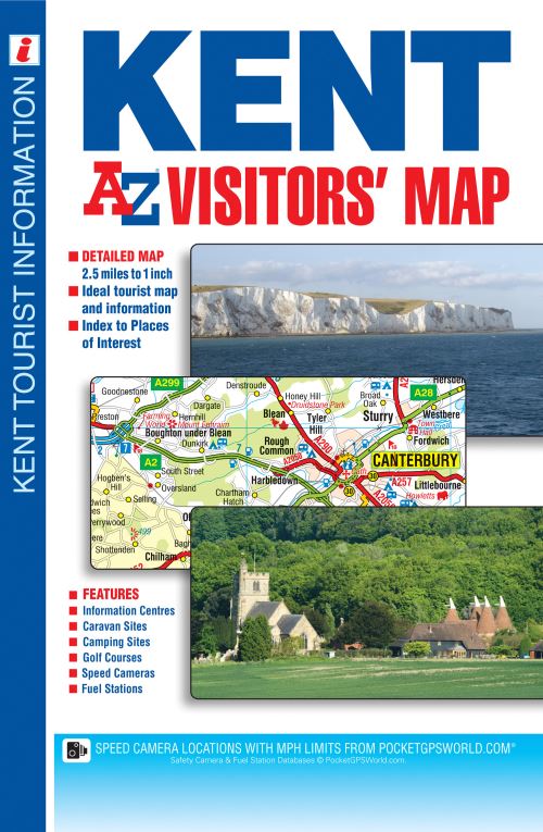
This A-Z Visitors' Map of Kent is a full colour, single sided sheet map covering the whole of the county with coverage extending into East Sussex to Lewes, Newhaven, Eastbourne and Hastings.Map detail is shown at a clear 1.6 kms to 1 cm (2.5 miles to 1 inch) and includes the following features:•Motorways with full junction detail, primary routes and destinations, A & B roads, under construction and proposed roads, service areas, tolls, mileages, national, county and unitary authority boundaries.•Selected safety camera locations with maximum speed limits.•Selected fuel stations.•South Downs National Park Boundary.•Selected places of interest, tourist information centres, caravan and camping sites.There are 2 separate index panels.•An index to cities, towns, villages, hamlets and locations.•An easy to use places of interest index, with corresponding map symbol alongside each entry for easy identification.Approach road maps for both Folkestone and Calais Channel Tunnel terminals are included on the inside of the cover.This easy to use sheet map is at a great scale, perfect for targeting the county's visitor attractions, both natural and man made or for just getting around Kent, The Garden of England, in general.
| ISBN: | 9781782570493 |
| Publication date: | 17th October 2014 |
| Author: | AZ Maps |
| Publisher: | Geographers' A-Z Map Co Ltd an imprint of HarperCollins Publishers |
| Format: | |
| Pagination: | 1 pages |
| Genres: |
Travel maps and atlases Geographical reference works |
This A-Z Visitors' Map of Kent is a full colour, single sided sheet map covering the whole of the county with coverage extending into East Sussex to Lewes, Newhaven, Eastbourne and Hastings.Map detail is shown at a clear 1.6 kms to 1 cm (2.5 miles to 1 inch) and includes the following features:•Motorways with full junction detail, primary routes and destinations, A & B roads, under construction and proposed roads, service areas, tolls, mileages, national, county and unitary authority boundaries.•Selected safety camera locations with maximum speed limits.•Selected fuel stations.•South Downs National Park Boundary.•Selected places of interest, tourist information centres, caravan and camping sites.There are 2 separate index panels.•An index to cities, towns, villages, hamlets and locations.•An easy to use places of interest index, with corresponding map symbol alongside each entry for easy identification.Approach road maps for both Folkestone and Calais Channel Tunnel terminals are included on the inside of the cover.This easy to use sheet map is at a great scale, perfect for targeting the county's visitor attractions, both natural and man made or for just getting around Kent, The Garden of England, in general.
Kent A-Z Visitors' Map features in the following genres: Travel maps and atlases, Geographical reference works
. Not Available.
Kent A-Z Visitors' Map was written by AZ Maps and published by Geographers' A-Z Map Co Ltd an imprint of HarperCollins Publishers
Kent A-Z Visitors' Map has 1 pages