

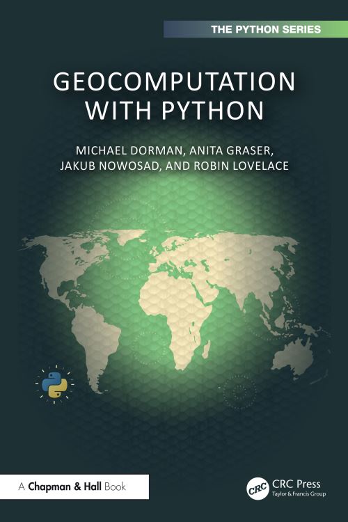
Geocomputation with Python is a comprehensive resource for working with geographic data with the most popular programming language in the world. The book gives an overview of Python's capabilities for spatial data analysis, as well as dozens of worked-through examples covering the entire range of standard GIS operations. A unique selling point of the book is its cohesive and joined-up coverage of both vector and raster geographic data models and consistent learning curve. This book is an excellent starting point for those new to working with geographic data with Python, making it ideal for students and practitioners beginning their journey with Python.
Key features:
Another unique feature is that this book is part of a wider community. Geocomputation with Python is a sister project of Geocomputation with R (Lovelace, Nowosad, and Muenchow 2019), a book on geographic data analysis, visualization, and modeling using the R programming language that has numerous contributors and an active community.
The book teaches how to import, process, examine, transform, compute, and export spatial vector and raster datasets with Python, the most widely used language for data science and many other domains. Reading the book and running the reproducible code chunks within will make you a proficient user of key packages in the ecosystem, including shapely, geopandas, and rasterio.
The book also demonstrates how to make use of dozens of additional packages for a wide range of tasks, from interactive map making to terrain modeling. Geocomputation with Python provides a firm foundation for more advanced topics, including spatial statistics, machine learning involving spatial data, and spatial network analysis, and a gateway into the vibrant and supportive community developing geographic tools in Python and beyond.
| ISBN: | 9781032460659 |
| Publication date: | 14th February 2025 |
| Author: | Michael Dorman, Anita Graser, Jakub Nowosad, Robin Lovelace |
| Publisher: | Chapman & Hall/CRC an imprint of CRC Press |
| Format: | Paperback |
| Pagination: | 344 pages |
| Series: | Chapman & Hall/CRC the Python Series |
| Genres: |
Geographical information systems, geodata and remote sensing Programming and scripting languages: general |
Geocomputation with Python is a comprehensive resource for working with geographic data with the most popular programming language in the world. The book gives an overview of Python's capabilities for spatial data analysis, as well as dozens of worked-through examples covering the entire range of standard GIS operations.
Geocomputation With Python features in the following genres: Geographical information systems, geodata and remote sensing, Programming and scripting languages: general
Hardback, Paperback. £55.79, down from the £61.99 cover price. Not Available.
Geocomputation With Python was written by Michael Dorman, Anita Graser, Jakub Nowosad, Robin Lovelace and published by Chapman & Hall/CRC an imprint of CRC Press
Geocomputation With Python has 344 pages
Yes it is part of Chapman & Hall/CRC the Python Series series
£55.79, reduced from £61.99. Not Available.