

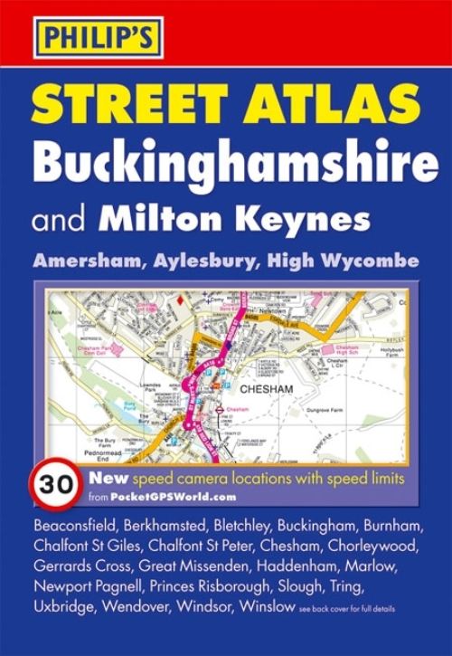
This fully revised pocket-sized street atlas of Buckinghamshire gives comprehensive and detailed coverage of the county. The route planner shows all the A and B roads, and can be used when driving to get close to the destination before turning to the relevant large-scale street map.The street maps show every named road, street and lane very clearly, with major roads picked out in colour. The maps are at a standard scale of 2 2/3 inches to 1 mile, and show postcode boundaries.
Other information on the maps includes car parks, railway and bus stations, post offices, schools, colleges, hospitals, police and fire stations, places of worship, leisure centres, footpaths and bridleways, camping and caravan sites, golf courses, and many other places of interest. New to this edition are fixed single and multiple speed-camera locations, with corresponding speed limits.The comprehensive index lists street names and postcodes, plus schools, hospitals, railway stations, shopping centres and other such features picked out in red, with other places of interest shown in blue.
| ISBN: | 9780540092994 |
| Publication date: | 6th September 2010 |
| Author: | |
| Publisher: | Philip's an imprint of Octopus |
| Format: | Paperback |
| Pagination: | 264 pages |
| Series: | Philip's Street Atlas |
| Genres: |
Travel maps and atlases Street maps and city plans |
This fully revised pocket-sized street atlas of Buckinghamshire gives comprehensive and detailed coverage of the county. The route planner shows all the A and B roads, and can be used when driving to get close to the destination before turning to the relevant large-scale street map.The street maps show every named road, street and lane very clearly, with major roads picked out in colour.
Buckinghamshire features in the following genres: Travel maps and atlases, Street maps and city plans
Paperback. Not Available.
Buckinghamshire was written by and published by Philip's an imprint of Octopus
Buckinghamshire has 264 pages
Yes it is part of Philip's Street Atlas series