

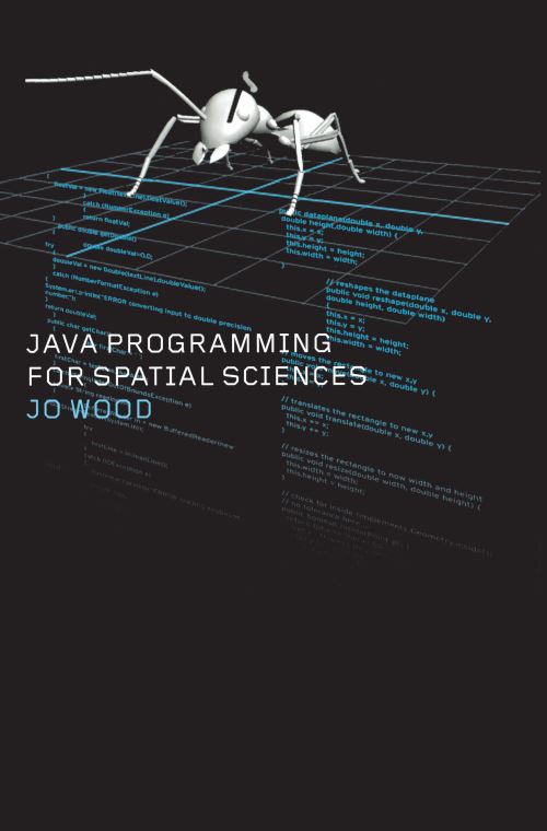
The Java programming language has been one of the most exciting internet-friendly technologies to emerge in the last decade. Java Programming for Spatial Sciences introduces the subject to those who wish to use computers to handle information with a geographical element. The book introduces object-oriented modeling including key concepts such as abstraction, inheritance and encapsulation.
It shows how these ideas can be used to model, process and visualize geographic information leading the reader from initial ideas of class design through to the implementation of feature rich raster and vector models of space. It includes some of the more recent developments in internet technologies such as web-based applets, remote communication and XML, showing how these can be used to deliver geographic information in a modern computing environment.
The text is aimed at new programmers as well as those in fields such as geography, GIS, remote sensing, archaeology and biology who wish to make use of geographic information. It provides a useful course text for advanced undergraduates and postgraduates in these fields. The material is heavily example-led, and contains programming exercises and quizzes, making it suitable for self-paced learning.
| ISBN: | 9780415260985 |
| Publication date: | 16th May 2002 |
| Author: | Jo Wood |
| Publisher: | CRC Press |
| Format: | Paperback |
| Pagination: | 320 pages |
| Genres: |
Geographical information systems, geodata and remote sensing Object-oriented programming (OOP) Web programming |
The Java programming language has been one of the most exciting internet-friendly technologies to emerge in the last decade. Java Programming for Spatial Sciences introduces the subject to those who wish to use computers to handle information with a geographical element.
Java Programming for Spatial Sciences features in the following genres: Geographical information systems, geodata and remote sensing, Object-oriented programming (OOP), Web programming
Paperback, Ebook. £34.19, down from the £37.99 cover price. Not Available.
Java Programming for Spatial Sciences was written by Jo Wood and published by CRC Press
Java Programming for Spatial Sciences has 320 pages
£34.19, reduced from £37.99. Not Available.