

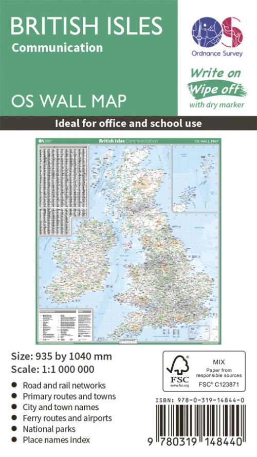
This map shows the British isles, with all the major road, rail and sea connections. It is supplied rolled in a tube and is ideal for schools, students or just for decoration. It includes an index of place names.
This map is gloss coated, so can be written on with suitable dry-wipe pens. It's scale is 1: 1 000 000
| ISBN: | 9780319148440 |
| Publication date: | 8th May 2019 |
| Author: | |
| Publisher: | Ordnance Survey |
| Format: | |
| Series: | OS Wall Map |
This map shows the British isles, with all the major road, rail and sea connections. It is supplied rolled in a tube and is ideal for schools, students or just for decoration.
. £10.79, down from the £11.99 cover price. In Stock.
British Isles Communication was written by and published by Ordnance Survey
Yes it is part of OS Wall Map series
£10.79, reduced from £11.99. In Stock.