

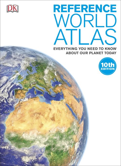
Welcome, all you globetrotters! Take the ultimate round-the-world trip with this spectacular atlas for children, showcasing more than 640 maps and a wealth of information about every nation on Earth.
Stretching across the globe from the British Isles to the Pacific Ocean, continental and regional maps are supported by terrain models and cross-sections, providing all the information younger readers need to truly understand the geography and culture of each region. Huge 3D maps combine with more than 750 photographs to showcase the planet's most jaw-dropping locations.
With a packed index of more than 80,000 entries, the Reference World Atlas is an essential educational tool for homes, schools, and businesses. The informative content supports young students in their geography work and mapping projects.
The 10th edition of this atlas has been fully updated to incorporate recent changes to place names, territory borders, and flag designs. The result is a complete and comprehensive picture of our world today.
| ISBN: | 9780241226339 |
| Publication date: | 1st August 2016 |
| Author: | |
| Publisher: | Dorling Kindersley Limited an imprint of Dorling Kindersley Ltd |
| Format: | Hardback |
| Pagination: | 1 pages |
| Genres: |
World / regional atlases or maps |
Welcome, all you globetrotters! Take the ultimate round-the-world trip with this spectacular atlas for children, showcasing more than 640 maps and a wealth of information about every nation on Earth.
Reference World Atlas features in the following genres: World / regional atlases or maps
Hardback. Not Available.
Reference World Atlas was written by and published by Dorling Kindersley Limited an imprint of Dorling Kindersley Ltd
Reference World Atlas has 1 pages