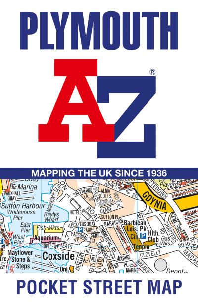
Navigate your way around Plymouth with detailed street maps from A-ZThis up-to-date, folded A-Z street map includes all of the 2000 streets in and around Plymouth.As well as the Royal William Yard and Crownhill Fort, the other areas covered include Stoke, Efford, Pennycross, St Budeaux, King's Tamerton, Eggbuckland and Manadon.The large-scale street map includes the following:• Places of interest• Postcode districts, one-way streets and car parks• Index to streets, places of interest, place and area names, park and ride sites, national rail stations, hospitals and hospicesThe perfect reference map for finding your way around Plymouth.
| ISBN: | 9780008725488 |
| Publication date: | 10th April 2025 |
| Author: | AZ Maps |
| Publisher: | Geographers' A-Z Map Co Ltd an imprint of HarperCollins Publishers |
| Format: | |
| Pagination: | 2 pages |
| Genres: |
Street maps and city plans World / regional atlases or maps Travel guides: routes and ways Travel maps Geographical reference works |