

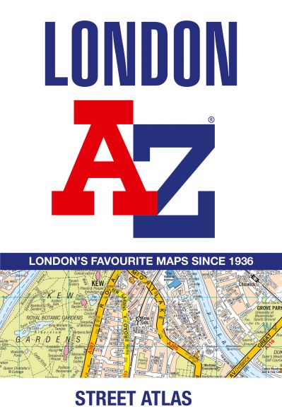
First published in 1936, this iconic atlas is a trusted means of finding your way around the capital city.
The main mapping extends beyond Central London from Heathrow Airport to Chingford at a scale of 2.88 inches to 1 mile (4.55 cm to 1 km), featuring postcode districts, one-way streets, the Congestion Charging Zone and Low Emission Zone.
The large-scale street map of Central London - at a scale of 5.75 inches to 1 mile - cover Regent's Park and Shoreditch, Chelsea and Vauxhall, Hyde Park and Bermondsey.
A comprehensive index lists streets, selected flats, walkways and places of interest, place, area and junction names. Additional healthcare (hospitals, walk-in centres and hospices) and transport connections (National Rail, London Tramlink, Docklands Light Railway, London Underground and Overground stations, and River Bus pier) are indexed as well.
Also included are:
Overview map of the Congestion Charging Zone, Ultra Low Emission and Low Emission Zones
West End Theatre map
London Connections rail services map
| ISBN: | 9780008663490 |
| Publication date: | 9th May 2024 |
| Author: | |
| Publisher: | Geographers' A-Z Map Co Ltd an imprint of HarperCollins Publishers |
| Format: | Paperback |
| Pagination: | 464 pages |
| Series: | AZ Street Atlas |
| Genres: |
Street maps and city plans World / regional atlases or maps Travel guides: routes and ways Travel maps Geographical reference works |
Navigate your way around London with this detailed, easy-to-use and up-to-date A-Z Street Atlas.First published in 1936, this iconic atlas is a trusted means of finding your way around the capital city.The main mapping extends beyond Central London from Heathrow Airport to Chingford at a scale of 2.88 inches to 1 mile (4.55 cm to 1 km), featuring postcode districts, one-way streets, the Congestion Charging Zone and Low Emission Zone.The large-scale street map of Central London - at a scale of 5.75 inches to 1 mile - cover Regent's Park and Shoreditch, Chelsea and Vauxhall, Hyde Park and Bermondsey.A comprehensive index lists streets, selected flats, walkways and places of interest, place, area and junction names. Additional healthcare (hospitals, walk-in centres and hospices) and transport connections (National Rail, London Tramlink, Docklands Light Railway, London Underground and Overground stations, and River Bus pier) are indexed as well.Also included are: Overview map of the Congestion Charging Zone, Ultra Low Emission and Low Emission Zones West End Theatre map London Connections rail services map
London features in the following genres: Street maps and city plans, World / regional atlases or maps, Travel guides: routes and ways, Travel maps, Geographical reference works
Paperback, Hardback, Ebook, Spiral bound, . £8.09, down from the £8.99 cover price. In Stock.
London was written by and published by Geographers' A-Z Map Co Ltd an imprint of HarperCollins Publishers
London has 464 pages
Yes it is part of AZ Street Atlas series
£8.09, reduced from £8.99. In Stock.