
Handy A4 road atlas of the whole of Ireland featuring clear and detailed colour mapping at a scale of 5.2 miles to 1 inch. Perfect for both residents and visitors to Ireland.
FEATURES:
Places of tourist interest.
Contact information for Tourist Information Centres with grid references to the mapping.
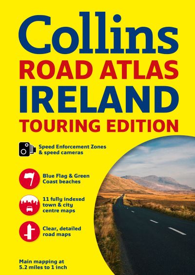
Fully indexed street maps of 11 cities and towns - Dublin, Belfast, Cork, Limerick, Londonderry (Derry), Galway, Bangor, Waterford, Dun Laoghaire, Drogheda and Killarney.
Speed enforcement zones and fixed location speed cameras.
Blue Flag & Green Coast beaches.
Ferry and airport information; Distance chart; Distances marked on the roads in miles and kilometres.
Route planning map of the whole of Ireland at 15.8 miles to 1 inch.
Administrative map of Irish counties and districts.
Attractive layer colours showing land height.
| ISBN: | 9780007541294 |
| Publication date: | 13th March 2014 |
| Author: | Collins Maps |
| Publisher: | Collins an imprint of HarperCollins Publishers |
| Format: | Paperback |
| Pagination: | 64 pages |
| Genres: |
Road atlases and maps Geographical reference works |
Handy A4 road atlas of the whole of Ireland featuring clear and detailed colour mapping at a scale of 5.2 miles to 1 inch. Perfect for both residents and visitors to Ireland.
FEATURES:
Places of tourist interest.
Contact information for Tourist Information Centres with grid references to the mapping.
Fully indexed street maps of 11 cities and towns - Dublin, Belfast, Cork, Limerick, Londonderry (Derry), Galway, Bangor, Waterford, Dun Laoghaire, Drogheda and Killarney.
Speed enforcement zones and fixed location speed cameras.
Blue Flag & Green Coast beaches.
Ferry and airport information; Distance chart; Distances marked on the roads in miles and kilometres.
Route planning map of the whole of Ireland at 15.8 miles to 1 inch.
Administrative map of Irish counties and districts.
Attractive layer colours showing land height.
Collins Road Atlas Ireland features in the following genres: Road atlases and maps, Geographical reference works
Collins Road Atlas Ireland is available in Paperback
Collins Road Atlas Ireland was written by Collins Maps and published by Collins an imprint of HarperCollins Publishers
Collins Road Atlas Ireland has 64 pages