

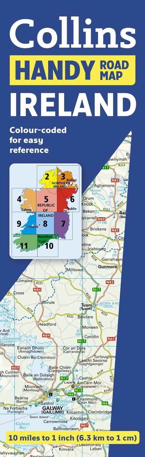
Scale: 10 miles to 1 inch.This route planning map is extremely easy to use as it opens almost like a book. It has lamination on both sides making it very hard wearing and is presented in a plastic wallet.This durable laminated map, covering the whole of Ireland, opens almost like a book, giving it the convenience of an atlas with all the benefits of a fold out map. It features clear full colour road maps at 10 miles to 1 inch and city centre plans of Belfast & Dublin.The map also features:• Distance chart on the back of the map in both miles and kilometres.• Roads colour classified.• Places of tourist interest, plus Tourist Information Centres shown.• Distances shown on the roads to aid journey planning.This map is ideal for anyone who would like a durable, handy format, route-planning map of the whole of Ireland, suitable for both leisure and business use.
| ISBN: | 9780007320707 |
| Publication date: | 29th April 2010 |
| Author: | Collins Maps |
| Publisher: | Collins an imprint of HarperCollins Publishers |
| Format: | |
| Genres: |
Road atlases and maps |
Scale: 10 miles to 1 inch.This route planning map is extremely easy to use as it opens almost like a book. It has lamination on both sides making it very hard wearing and is presented in a plastic wallet.This durable laminated map, covering the whole of Ireland, opens almost like a book, giving it the convenience of an atlas with all the benefits of a fold out map.
Handy Map Ireland features in the following genres: Road atlases and maps
. Not Available.
Handy Map Ireland was written by Collins Maps and published by Collins an imprint of HarperCollins Publishers