

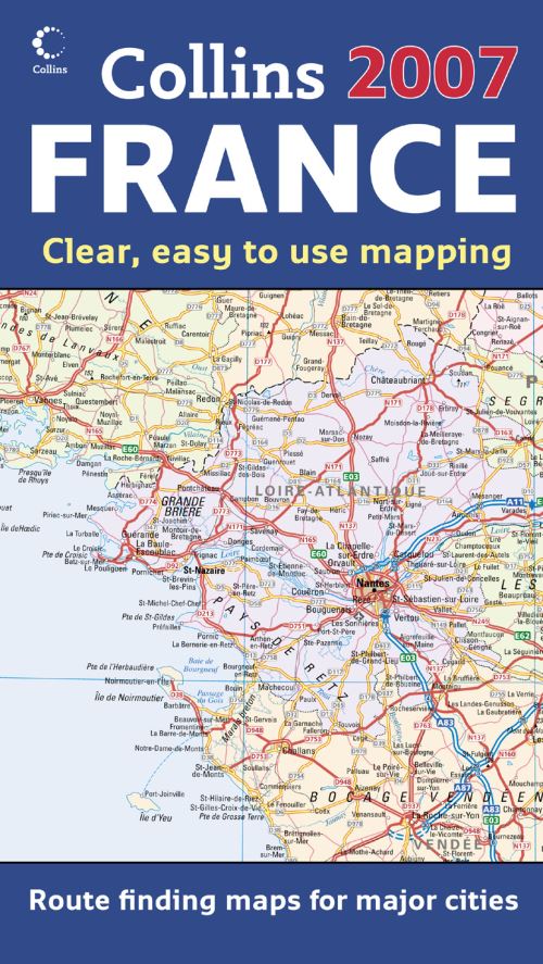
New edition of annually revised, politically coloured map of France. The ideal map for planning and route-finding.Scale 1 : 1 125 000 (1cm to 11 kms / 1 inch to 18 miles)AREA OF COVERAGEFrom the Belgian and German borders in the north to the Spanish border in the south, and from the Brest Peninsula in the west to the Italian and Swiss borders in the east. Also includes the island of Corsica.MAP DETAILPolitically coloured mapping showing individual Départements by name.
Motorways, roads, airports, cities and towns. Motorways and Euroroutes numbered.INCLUDESThrough-route map of Paris, Lyon, Marseille, Strasbourg, and ToulouseDistance chart giving distances in kilometres between main townsKey to Département names and numbers, and list of RegionsInternet links to further informationMap legend in English, French and GermanIndex to place namesWHO
THE PRODUCT IS AIMED
ATHome and business reference users.
OTHER PRODUCTS IN THE SERIES2007
Map of Europe2007 Map of Britain2007 Map of Scotland2007 Map of Ireland2007 Map of France.
| ISBN: | 9780007231706 |
| Publication date: | 2nd October 2006 |
| Author: | |
| Publisher: | Collins an imprint of HarperCollins Publishers |
| Format: | |
| Series: | International Road Map |
| Genres: |
Road atlases and maps |
New edition of annually revised, politically coloured map of France. The ideal map for planning and route-finding.Scale 1 : 1 125 000 (1cm to 11 kms / 1 inch to 18 miles)AREA OF COVERAGEFrom the Belgian and German borders in the north to the Spanish border in the south, and from the Brest Peninsula in the west to the Italian and Swiss borders in the east.
2007 Map of France features in the following genres: Road atlases and maps
. Not Available.
2007 Map of France was written by and published by Collins an imprint of HarperCollins Publishers
Yes it is part of International Road Map series