

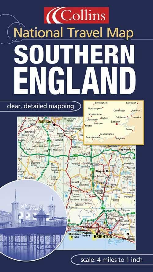
1:250,000, 4 miles to 1 inch. Attractive map of the whole of southern England featuring Collins Mapping. It is packed with detail, is fully indexed and has layer colouring to show land height.
MAIN FEATURES
Detailed Collins mapping with layer colours to show height
Extremely attractive and easy to read
All roads colour classified
INCLUDES
Places of tourist information included
Ferry routes & airports shown
Distances shown on roads
Full index to place names
AREA OF COVERAGE
Extends to Cornwall in the west, Northampton and Cambridge in the north, to the coast in the east and south.
WHO THE PRODUCT IS OF INTEREST TO
This map is ideal for wall mounting or for use in the vehicle and is suitable for both business or pleasure motoring.
| ISBN: | 9780007151899 |
| Publication date: | 7th April 2003 |
| Author: | |
| Publisher: | Collins an imprint of HarperCollins Publishers |
| Format: | |
| Series: | National Travel Map |
| Genres: |
Road atlases and maps |
1:250,000, 4 miles to 1 inch. Attractive map of the whole of southern England featuring Collins Mapping.
Southern England features in the following genres: Road atlases and maps
. Not Available.
Southern England was written by and published by Collins an imprint of HarperCollins Publishers
Yes it is part of National Travel Map series