

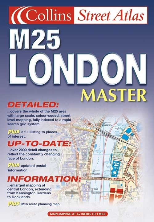
1:20,000 3.2 inches to 1 mile, 1:10,000 6.3 inches to 1 mile Attractive atlas using the Bartholomew digital database mapping covering the whole M25 area. A huge amount of detail is included with a high level of clarity
MAIN FEATURES
Main mapping at 3.2 inches to1 mile
Enlarged central area at 6.3 inches to 1 mile
Route planning map of the M25 London area
Places, streets and places of interest all fully indexed
INCLUDES
Colour classified roads and buildings
Postal district boundaries
Car parks, hospitals and police stations
Places of interest
AREA OF COVERAGE
Extends from Cheshunt in the north to Reigate in the south and from Slough in the west to Gravesend in the east.
WHO THE PRODUCT IS AIMED AT
Especially designed for the local resident and business professional alike in an economical paperback binding. It has a wealth of detail but retains its clarity. It has a fine grid system making it extremely easy to use.
| ISBN: | 9780007129638 |
| Publication date: | 1st October 2001 |
| Author: | |
| Publisher: | Collins an imprint of HarperCollins Publishers |
| Format: | Paperback |
| Pagination: | 349 pages |
| Series: | Collins Street Atlas |
| Genres: |
Street maps and city plans |
1:20,000 3.2 inches to 1 mile, 1:10,000 6.3 inches to 1 mile Attractive atlas using the Bartholomew digital database mapping covering the whole M25 area. A huge amount of detail is included with a high level of clarityMAIN FEATURES Main mapping at 3.2 inches to1 mile Enlarged central area at 6.3 inches to 1 mile Route planning map of the M25 London area Places, streets and places of interest all fully indexedINCLUDES Colour classified roads and buildings Postal district boundaries Car parks, hospitals and police stations Places of interestAREA OF COVERAGEExtends from Cheshunt in the north to Reigate in the south and from Slough in the west to Gravesend in the east.WHO THE PRODUCT IS AIMED ATEspecially designed for the local resident and business professional alike in an economical paperback binding.
M25 London Master features in the following genres: Street maps and city plans
Paperback, Hardback, Spiral bound. Not Available.
M25 London Master was written by and published by Collins an imprint of HarperCollins Publishers
M25 London Master has 349 pages
Yes it is part of Collins Street Atlas series