

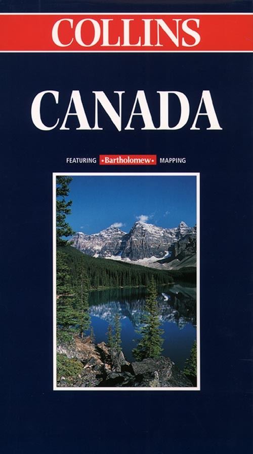
Revised editon in Collins brand for the first time. Map was previously published under Times and Bartholomew imprints. SCALE 1 : 5 800 000 1 cm to 58 km 1 inch to 92 milesMAIN FEATURESPolitically coloured map highlighting the CanadianProvinces and including the new Innuit province ofNunavut.INCLUDESCities and towns, roads, railways, internationaland provincial boundaries, airports and NationalParks.
Oil and gas pipelines, glaciers andicecaps.AREA OF COVERAGEAll of Canada from Ellesmere Island in the north tothe Great Lakes and the U.S.A. in the south, andfrom Vancouver and Alaska in the west toNewfoundland in the east. The map also extendsfurther to the east to include all of Greenland andIceland.
WHO THE PRODUCT IS AIMED
ATHome and business reference use and travelplanning.
OTHER PRODUCTS IN THE
SERIESNorth AmericaUSAUSA WesternUSA CentralUSA EasternPlus a range of individual country and countrygroup maps.
| ISBN: | 9780004489193 |
| Publication date: | 6th April 1999 |
| Author: | |
| Publisher: | Collins an imprint of HarperCollins Publishers |
| Format: | |
| Series: | World Travel Map |
| Genres: |
Travel maps |
Revised editon in Collins brand for the first time. Map was previously published under Times and Bartholomew imprints.
Canada features in the following genres: Travel maps
Paperback, Ebook, . Not Available.
Canada was written by and published by Collins an imprint of HarperCollins Publishers
Yes it is part of World Travel Map series