

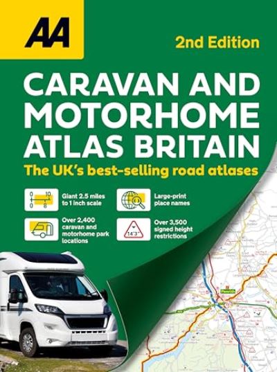
Explore Britain with confidence using the AA Caravan & Motorhome Atlas 2027 - the ultimate guide for caravanners and motorhome owners. What's Inside: Easy-to-read: giant 2.5 miles to 1 inch scale in A3 format makes navigation simple. Includes over 2,000 campsites located on the mapping.
Signed bridge heights: 3,400 signed bridge height restrictions clearly located. Over 500 AA-inspected sites with ratings, plus more than 1,490 additional parks. Touring routes: 10 individual touring routes ranging from 96-480 miles with maps and information on attractions along the way.
District maps: large scale maps of London, Birmingham, Glasgow, Manchester, and Tyne & Wear. Travel info at a glance: Low bridges, narrow roads, tunnels, tolls, service areas, steep gradients, level crossings, and low emission zones all clearly marked. Discover attractions: Over 8,700 points of interest including National Trust and English Heritage sites, National Parks, scenic routes, and top tourist destinations.
Planning made easy: Four-page route planner, distance charts, and an explanatory list of restricted motorway junctions. Whether it's a weekend getaway or a cross-country adventure, this atlas makes travelling Britain safe, simple, and fun.
| ISBN: | 9780749584597 |
| Publication date: | 7th May 2026 |
| Author: | |
| Publisher: | AA Publishing an imprint of Aa Publishing |
| Format: | Book |
| Pagination: | 208 pages |
| Genres: |
Travel guides: caravan and camp-site guides Road atlases and maps |
Explore Britain with confidence using the AA Caravan & Motorhome Atlas 2027 - the ultimate guide for caravanners and motorhome owners. What's Inside: Easy-to-read: giant 2.5 miles to 1 inch scale in A3 format makes navigation simple.
AA Caravan & Motorhome Atlas 2nd Edition features in the following genres: Travel guides: caravan and camp-site guides, Road atlases and maps
Book. £15.29, down from the £16.99 cover price. In Stock.
AA Caravan & Motorhome Atlas 2nd Edition was written by and published by AA Publishing an imprint of Aa Publishing
AA Caravan & Motorhome Atlas 2nd Edition has 208 pages
£15.29, reduced from £16.99. In Stock.