
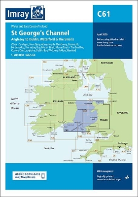
Wales to the East Coast of Ireland Plans included: Cardigan (1:40 000) New Quay (1:20 000) Aberystwyth (1:20 000) Aberdovey (1:50 000) Barmouth (1:30 000) Porthmadog (1:75 000) Tremadog Bay (1:75 000) Menai Strait (1:80 000) Menai Strait - The Swellies (1:25 000) Conwy (1:30 000) Dun Laoghaire (1:25 000) Dublin Bay (1:90 000) Wicklow (1:10 000) Arklow (1:15 000) Wexford (1:75 000) On this edition the chart specification has been improved to show coloured light flashes. The firing practice areas have been updated and the extents of the Skomer I. Marine Reserve is shown. There has been general updating throughout.
| ISBN: | 9781786792143 |
| Publication date: | 1st May 2020 |
| Author: | Imray |
| Publisher: | Imray, Laurie, Norie & Wilson Ltd |
| Format: | Sheet map, folded |
| Pagination: | 1 pages |
| Series: | C series |
| Genres: |
Navigation and seamanship Sailing / yachting |